After our miraculously quick clutch repair, we drove south to East Fork Blacktail Deer Creek. The Blacktail Deer Creek area is just outside of Dillion (which has a Patagonia outlet that has been there at least 25 years). The Patagonia Portland store is one of the best, but it was fun to see all the weird odds n’ends that get sent to the a Dillion outlet.
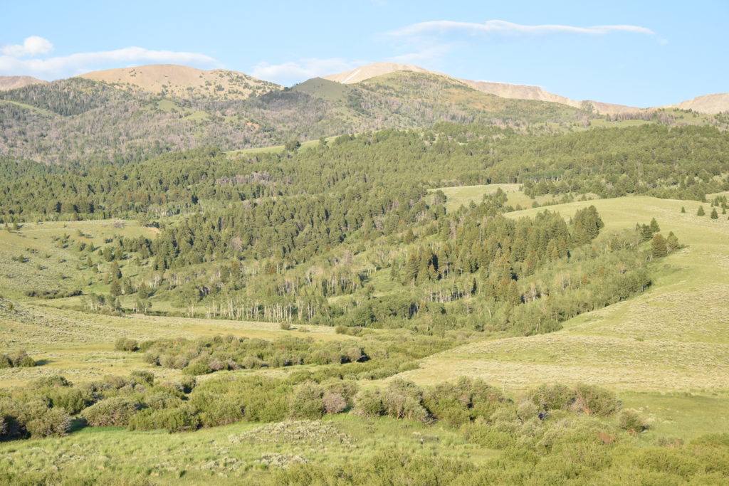
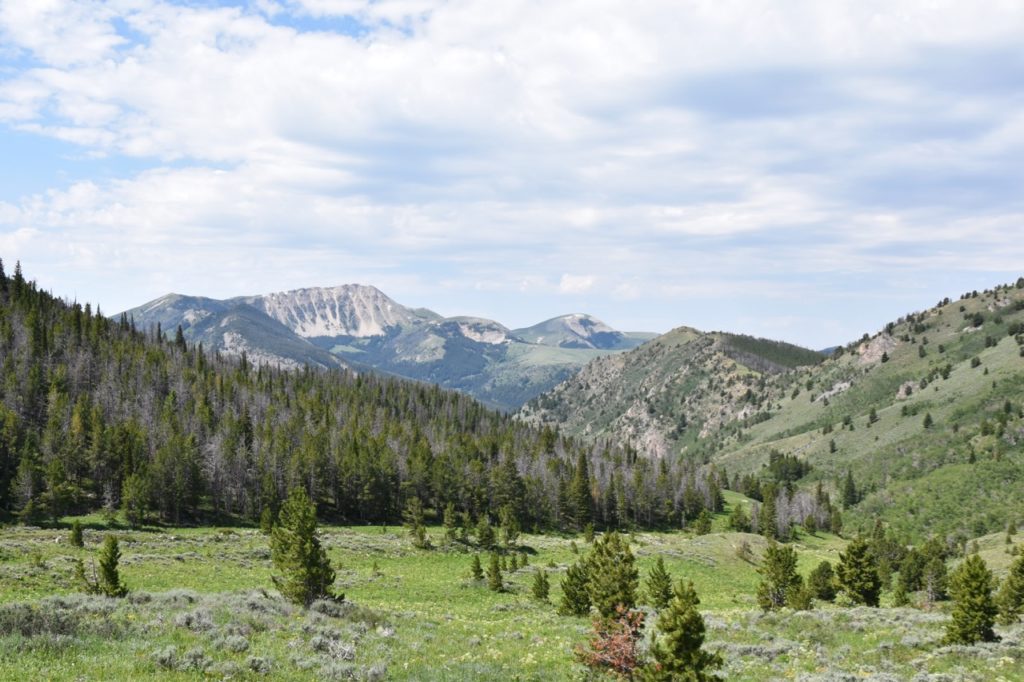
East Fork Blacktail Deer Creek is a 6,230-acre BLM-managed wilderness study area (WSA) and we were there to volunteer with the University of Montana’s Wilderness Institute. The Institute includes a Citizen Science program which gets volunteers out in the field doing assessments of WSAs.
A WSA is an area that has been identified by the managing agency as potentially meeting the definition of Wilderness (under the 1964 Wilderness Act), but that has not been designated as Wilderness by Congress. A wilderness area is (1) a roadless area of at least 5,000 acres (or of a manageable size); (2) “generally appears to have been affected primarily by the forces of nature, with the imprint of man’s work substantially unnoticeable;” (3) has outstanding opportunities for solitude or a primitive and unconfined type of recreation; and (4) has “ecological, geological, or other features of scientific, educational, scenic, or historical value.”
Once identified, WSAs must be managed for nonimpairment to preserve their wilderness values until Congress either designates the area as wilderness or releases the area.
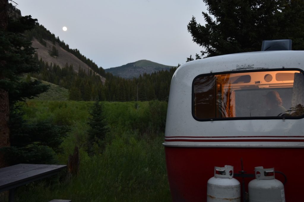
When we arrived we were greeted by our volunteer leader Dan and our fellow volunteer, Vadim (a Russia-born, New-York physician). They had already been out collecting data as we were a day late due to the clutch. We ate a quick dinner (prepared by Dan) and then went to rest up for our hike the next day.
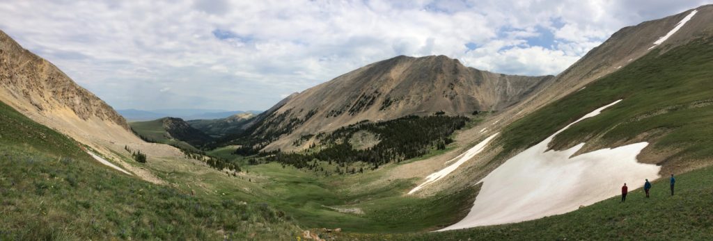
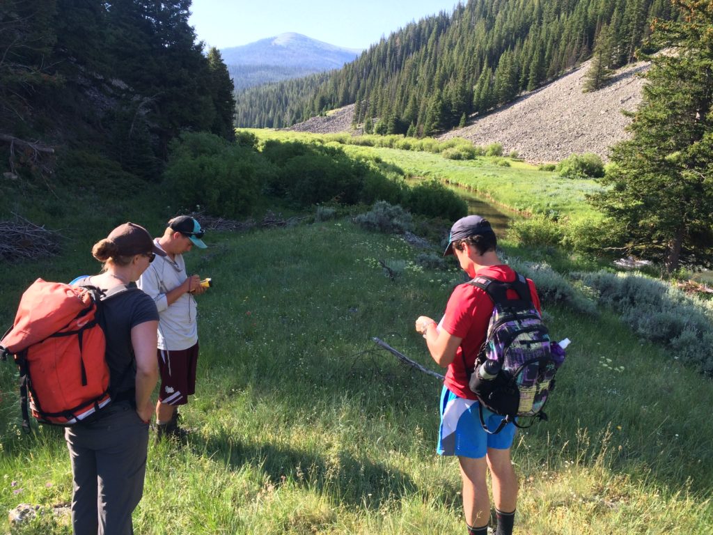
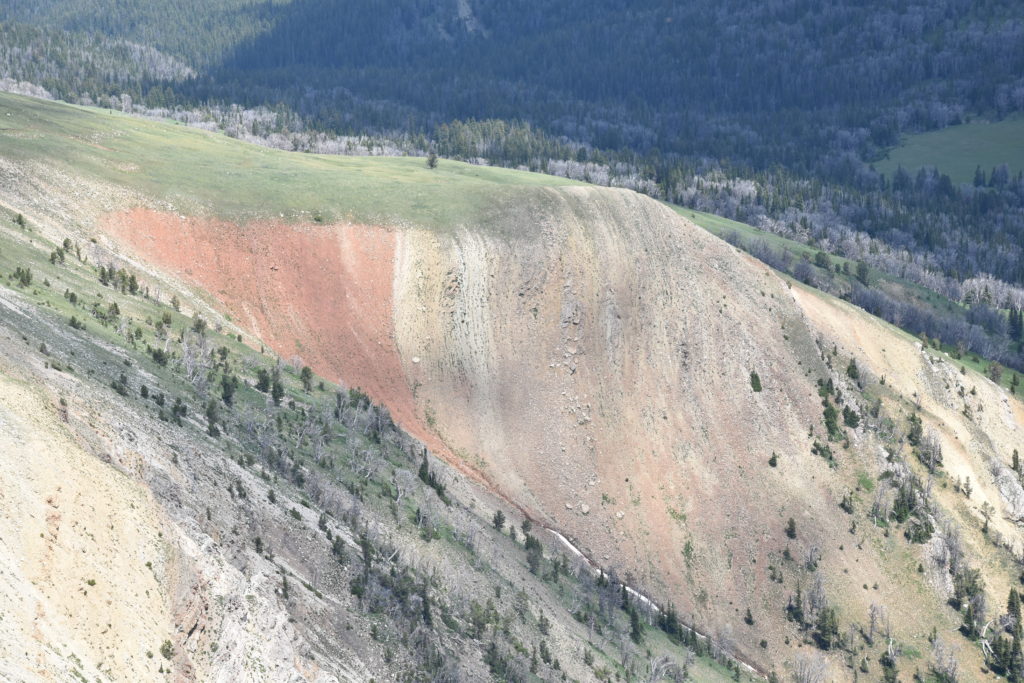
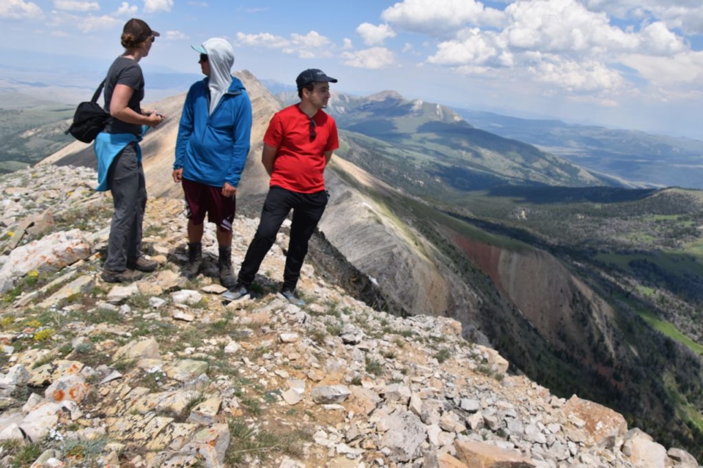
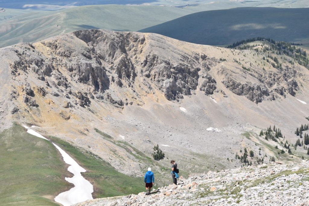
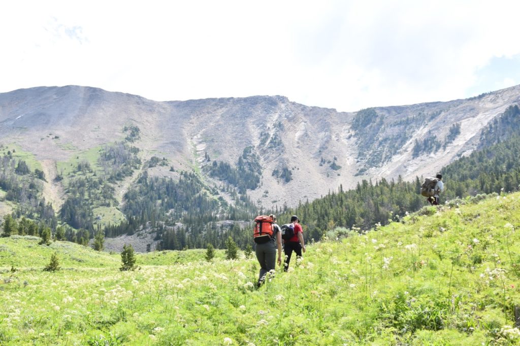
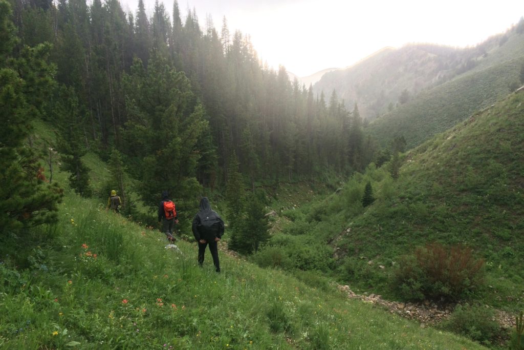
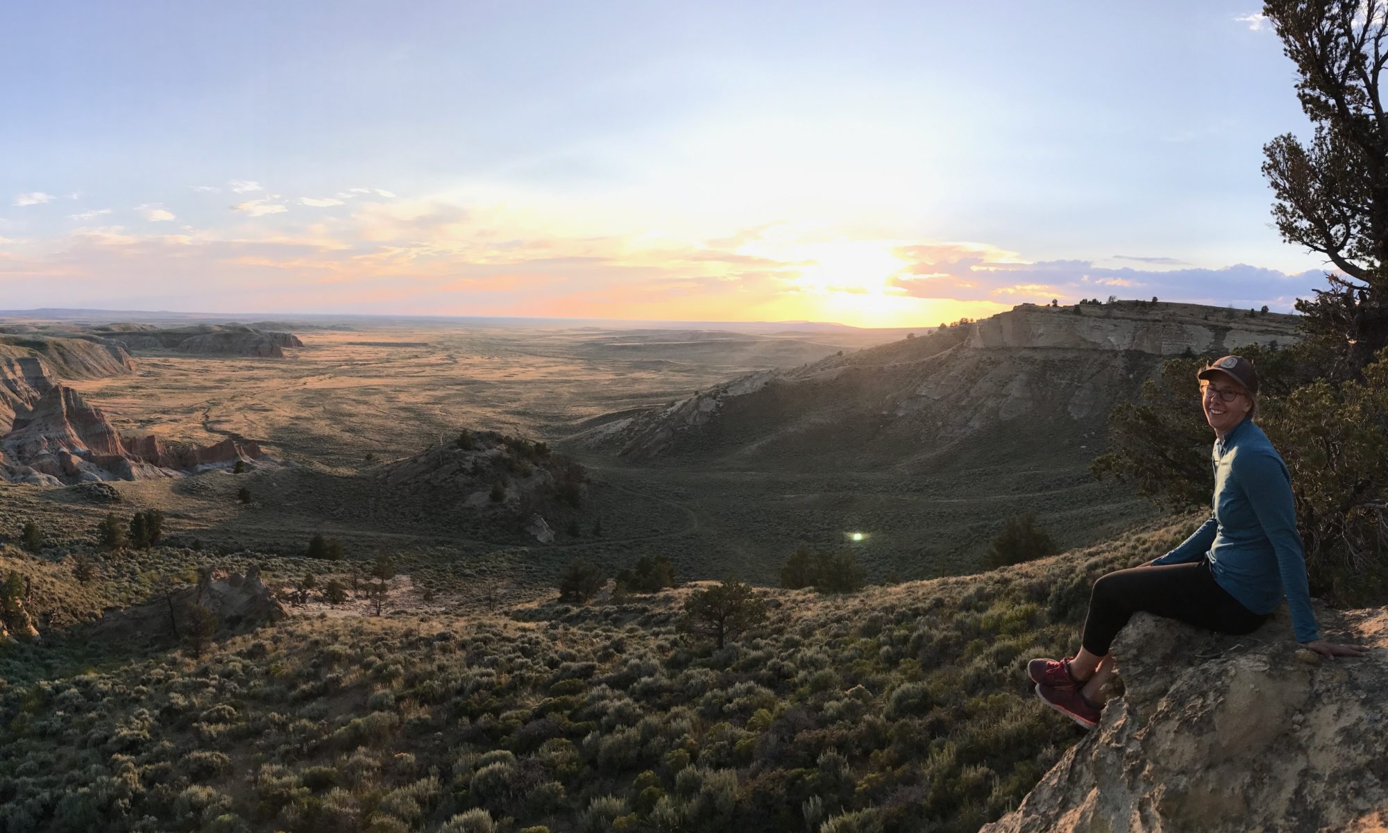
We headed out the next morning to checkout one of the few official entrances to the WSA and hike along one of the few established trails. Our hike would take us 13 miles along a beautiful creek drainage to the top of Sunset Peak. At 10,581 feet, it’s the highest peak in the Snowcrest range.
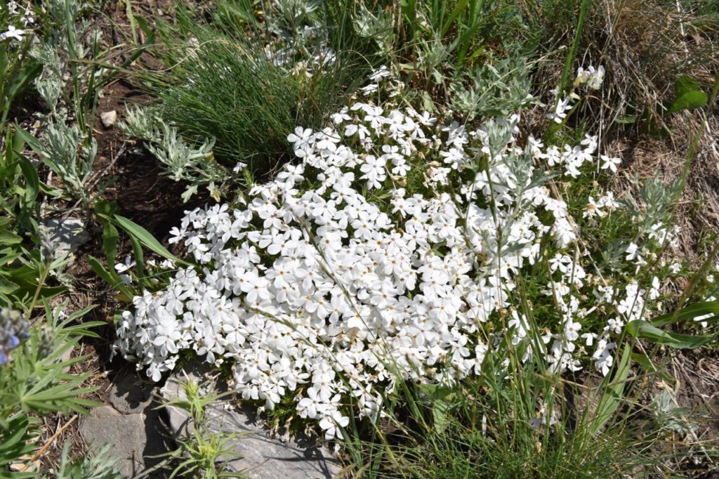
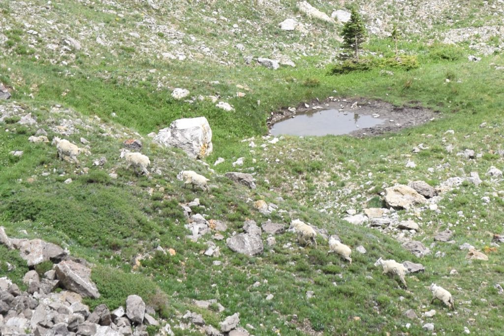
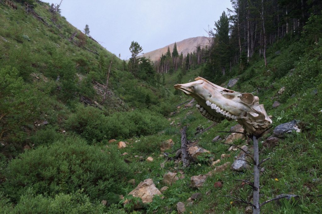
Along the hike we logged data points of features used to measure the wilderness character of an area. Points we saw included the WSA-boundary sign, trail signs, remnants of what must have been a homestead-era stonewall (cultural point), airplanes (auditory & visual intrusion), invasive weeds (thistles), scrap of fence, and a dozen mountain goats. Other features we were looking for included: livestock, water erosion, range improvements, trail closures, campsites, mechanized/motorized use, and installations/developments.
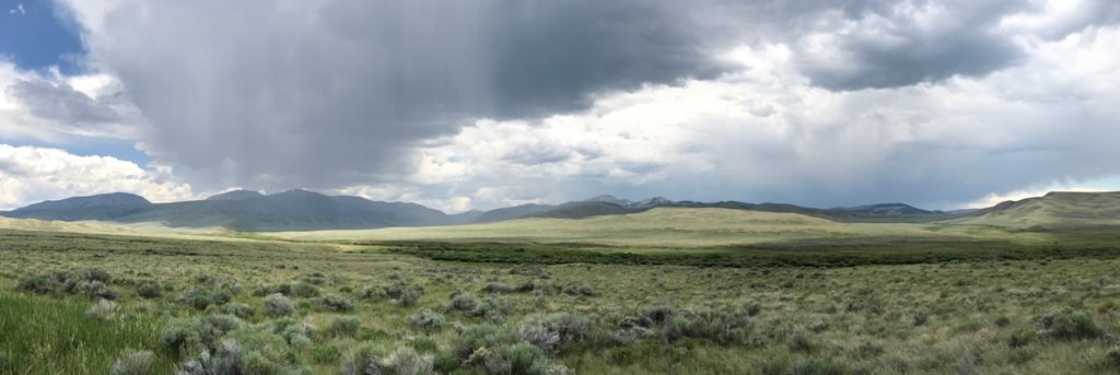
The next day we jumped in the car to look at a second WSA entry point. Along the way we saw a no motor vehicle sign blocking an old ATV road, so we jumped out and logged its location.
The boundary marker we were looking for was located several miles from the nearest road and up a steep ridge. It was a sweaty cross-country slog, but we were rewarded by finding the boundary marker and logging the fence line.
We were chased off the top by ominous clouds (as we were the previous day) and returned to the car. We were back by 2:00 pm and had some downtime. Sam and I rested, while Vadim (being the true intrepid explorer) went for another hike!
The next morning, before departing, Dan gifted everyone a stainless steel mug with the motto “volunteer for conservation.” A good motto to adopt for our trip!